This face-to-face (F2F) course provides participants with a hands-on learning experience in Cloud Computing and its application in Earth Observation (EO) data analysis. The course begins with an introduction to big geospatial data challenges and explores Cloud Computing as an effective solution.
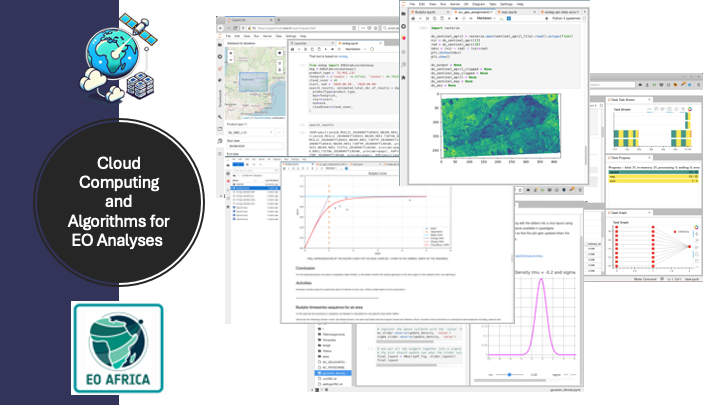
Participants will work directly with Jupyter Notebooks and JupyterLab, essential tools for cloud-based EO data analysis. The EO AFRICA Facility Innovation Lab will be introduced as a platform for accessing and processing EO data efficiently.
The course then moves into Python programming for EO data processing, covering essential libraries such as NumPy, Rasterio, and GeoPandas, as well as Dask for scalable computing. Participants will learn how to access EO datasets programmatically using STAC (and EO DAG, if time allows).
The final part of the course is a collaborative project, where participants apply their skills to real-world EO challenges. They will form small teams, select a topic, process EO data, and present their findings.
- Teacher: Mahdi Farnaghi
- Teacher: Mahdi Khodadadzadeh