From early 2000 onwards, the availability of high-quality Hyper-Temporal (HT) EO, has created an enormous number of additional possibilities to map and detect changes as required to monitor impacts (successes or failures).
Use of the dimensions "space & time" now lets us study and work on issues that earlier remained "out-of-reach" and remained "unanswered", like:
creating benchmark maps that clearly include important temporal characteristics.
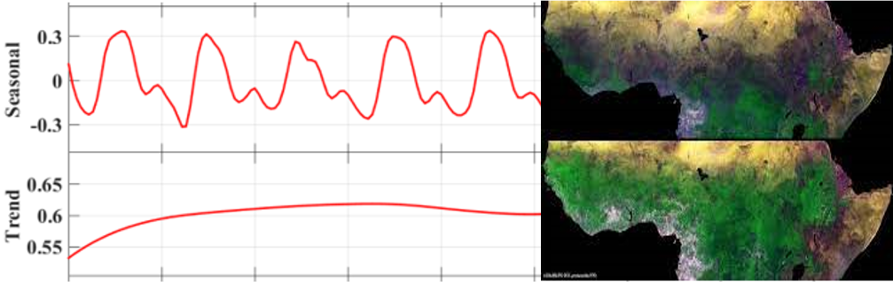
exploring the potential of the temporal dimension of satellite EO data for monitoring vegetation dynamics and land cover/land use changes over longer periods of time.
Optional: Webinar on "HT-Mapping of Ecological Systems"
Optional: MOOC on " Monitoring Vegetation Dynamics from Space"
In addition, skills to link agro-ecological conditions to crop requirements will be practiced using tools like GAEZ, EcoCrop and CropBase.
The participants will further practice knowledge gained using Hyper-Temporal imagery to map and to monitor agro-ecosystems (2 days each!).
- Teacher: Kees de Bie
- Teacher: Jeroen Degerickx
- Teacher: Tits Laurent
- Teacher: Michael Marshall
- Teacher: Andy Nelson
- Teacher: Suhyb Salama
- Teacher: Tlaura Tcray
- Teacher: Arno van Lieshout
- Teacher: Valentijn Venus