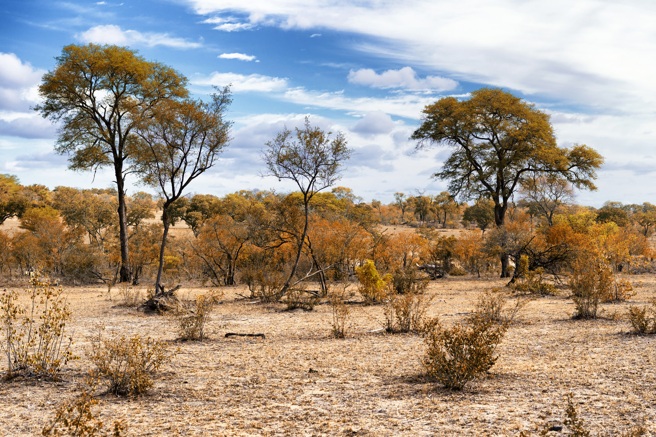
Today, droughts present one of the most severe threats to global food security. Due to climate change, the frequency, intensity and hence impacts of droughts are rapidly and continuously changing worldwide. In order to adapt our agricultural practices to these changing conditions, we first of all need access to efficient tools that help us visualize and understand these dynamics at various spatial scales.
This online course will provide participants with the necessary theoretical and practical knowledge on vegetation and drought monitoring based on satellite EO data. It will introduce the general concept of EO-based vegetation/drought monitoring, show the different types of potentially useful EO data, highlight relevant satellite sensors and freely available data products as well as explain different analysis techniques that can be employed for deriving meaningful information from satellite observations. Participants will learn how to select, access and use the right data and tools for their specific application related to vegetation and/or drought monitoring. In particular, we will zoom in on the use of EO data for regional to local assessments of vegetation productivity, the impact of droughts on crops and rangeland dynamics.
Training materials will be offered through the MOODLE platform, which participants can work through on their own pace. Students will get the chance to apply the knowledge and skills gained during two dedicated case studies using EO data available on the Innovation Lab.
- Teacher: Kees de Bie
- Teacher: Jeroen Degerickx
- Teacher: Tits Laurent
- Teacher: Michael Marshall
- Teacher: Andy Nelson
- Teacher: Egor Prikaziuk
- Teacher: Roelof Rietbroek
- Teacher: Suhyb Salama
- Teacher: Paul Vermunt