In this course, participants will get an introduction to cloud-based image analysis techniques for monitoring surface water dynamics with use of EO data. It will cover general concepts of radar and optical remote sensing, how those instruments interact with water surface and which infor-mation they can provide. The key datasets to be used include Copernicus Missions: Sentinel-1 and Sentinel-2 for water bodies monitoring and hazards. For practical exercises participants will use Jupyter Notebooks and image processing software available on the cloud computing platform.
- Teacher: Diego-Nahuel Carcedo
- Teacher: Ewelina Dobrowolska

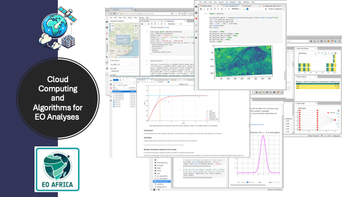
This face-to-face (F2F) course provides participants with a hands-on learning experience in Cloud Computing and its application in Earth Observation (EO) data analysis. The course begins with an introduction to big geospatial data challenges and explores Cloud Computing as an effective solution.
Participants will work directly with Jupyter Notebooks and JupyterLab, essential tools for cloud-based EO data analysis. The EO AFRICA Facility Innovation Lab will be introduced as a platform for accessing and processing EO data efficiently.
The course then moves into Python programming for EO data processing, covering essential libraries such as NumPy, Rasterio, and GeoPandas, as well as Dask for scalable computing. Participants will learn how to access EO datasets programmatically using STAC (and EO DAG, if time allows).
The final part of the course is a collaborative project, where participants apply their skills to real-world EO challenges. They will form small teams, select a topic, process EO data, and present their findings.
- Teacher: Mahdi Farnaghi
- Teacher: Mahdi Khodadadzadeh

The African continent presents unique challenges for atmospheric research, with significant implications for both local and global public policies. Rapid demographic growth and the expansion of megacities are contributing to deteriorating air quality, which has a direct impact on human health and agricultural productivity. Concerning greenhouse gases, efforts to reduce methane emissions from oil and gas production in African nations are complicated by increasing emissions from tropical wetlands in the face of a changing climate. Addressing these and other atmospheric chemistry issues requires accurate quantification of concentrations and sources of the relevant atmospheric species. Recent developments in satellite instrumentation and algorithms have made space-based observations an excellent tool to address these issues. Hundreds of data sets from space agencies like ESA are available online and can be used freely by users worldwide. Yet, accessing and utilizing satellite data in Africa remains challenging, making it difficult for local scientists and policymakers to fully leverage this resource. Moreover, satellite data require validation to assess their reliability. However, this is often hindered by the limited availability of accurate measurements.
The SATVA 2025 workshop will bring together scientists from Europe and Africa to discuss the validation and application of atmospheric data in Africa, with a particular focus on the TROPOMI/S5p satellite mission. The workshop aims to foster knowledge transfer and build capacity among scientists. It will feature lectures on satellite remote sensing, covering fundamental principles, validation techniques, and practical applications in the African context. Participants will also have the opportunity to explore state-of-the-art measurement concepts with both in-situ and remote sensing atmospheric instruments. The workshop will address the challenges of satellite data availability in Africa and explore how strengthening scientific capacity can enhance informed decision-making for more effective public policy.
- Teacher: Luc Boerboom
- Teacher: Alexis Merlaud
- Teacher: Marloes Penning de Vries
- Teacher: Suhyb Salama
- Teacher: Mahesh Kumar Sha
- Teacher: Anu-Maija Sundström
- Teacher: Frederik Tack

This face-to-face (F2F) course provides participants with a hands-on learning experience in Cloud Computing and its application in Earth Observation (EO) data analysis. The course begins with an introduction to big geospatial data challenges and explores Cloud Computing as an effective solution.
Participants will work directly with Jupyter Notebooks and JupyterLab, essential tools for cloud-based EO data analysis. The EO AFRICA Facility Innovation Lab will be introduced as a platform for accessing and processing EO data efficiently.
The course then moves into Python programming for EO data processing, covering essential libraries such as NumPy, Rasterio, and GeoPandas, as well as Dask for scalable computing. Participants will learn how to access EO datasets programmatically using STAC (and EO DAG, if time allows).
The final part of the course is a collaborative project, where participants apply their skills to real-world EO challenges. They will form small teams, select a topic, process EO data, and present their findings.
- Teacher: Serkan Girgin
- Teacher: Serkan Girgin
- Teacher: Mahdi Khodadadzadeh

This face-to-face training is the 15th EO AFRICA R&D Facility course, organised in collaboration with the National Water Research Centre (NWRC) in Egypt, represented by the Coastal Research Institute (CoRI) and the Capacity Building Unit (CBU).
The course will take place 14–18 December 2025 in Alexandria, Egypt.
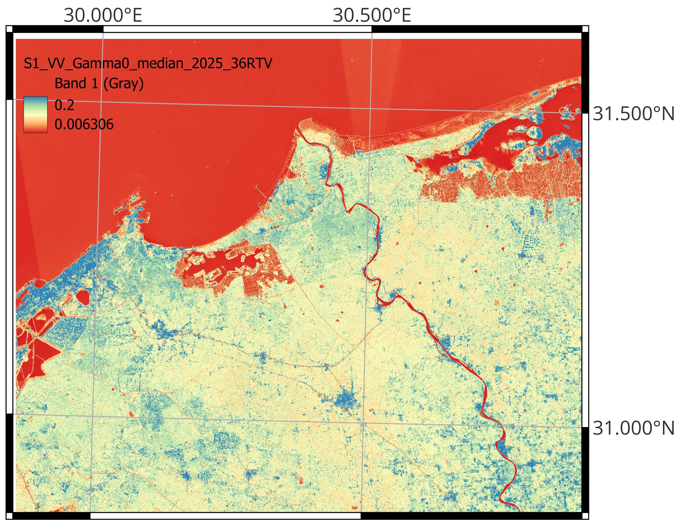
Coastal regions are among the most dynamic and vulnerable environments. They are affected by shoreline erosion, land subsidence driven by groundwater abstraction, sediment transport, and sea-level rise. This course introduces participants to satellite Earth Observation (EO) techniques, datasets, and cloud-based analysis workflows to monitor these processes and support evidence-based coastal management.
- Teacher: Mostafa Gomaa Daoud
- Teacher: Islam Fadel
- Teacher: Eman Nofal
- Teacher: Suhyb Salama
- Teacher: Amira Zaki

