- Teacher: Ousséni Arouna
- Teacher: Mahugnon Géraud AZEHOUN PAZOU

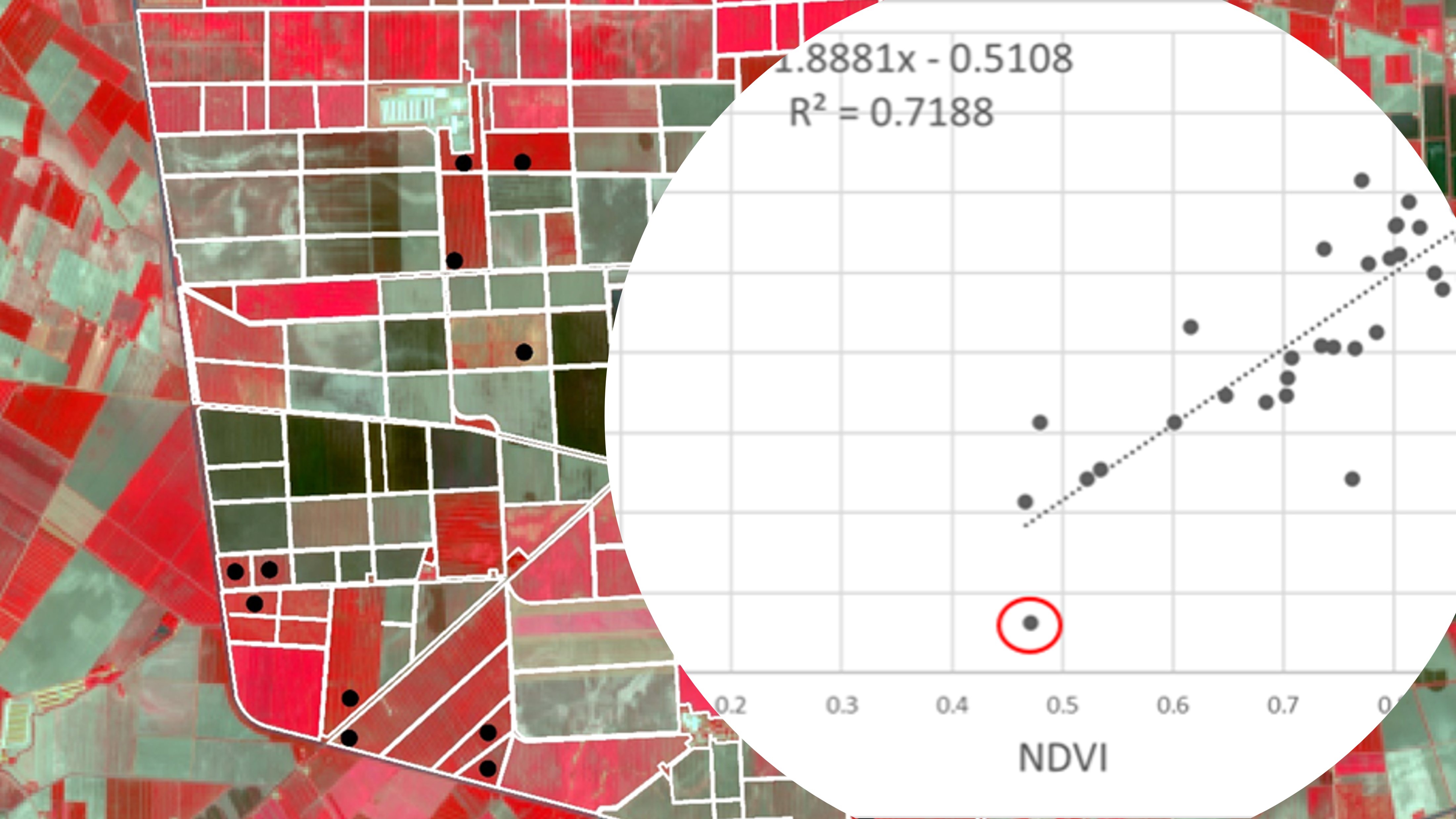
This online course equips participants with fundamental knowledge in Earth Observation (EO) to enhance their understanding and utilization of EO data. The course primarily focuses on optical data, exploring their advantages and limitations. Additionally, active remote sensing concepts are introduced. The curriculum combines theoretical lectures with practical assignments related to data processing for specific use cases. Participants engage with a variety of resources, including short videos, webinars, presentations, reading materials, and reference articles. Mandatory quizzes based on the lectures ensure successful completion of the training, and the issuance of a certificate provided by EO AFRICA R&D Facility.
- Teacher: Diego-Nahuel Carcedo
- Teacher: Ewelina Dobrowolska
- Teacher: Serkan Girgin
- Teacher: Mahdi Khodadadzadeh

- Teacher: Jeroen Degerickx
- Teacher: Michael Marshall

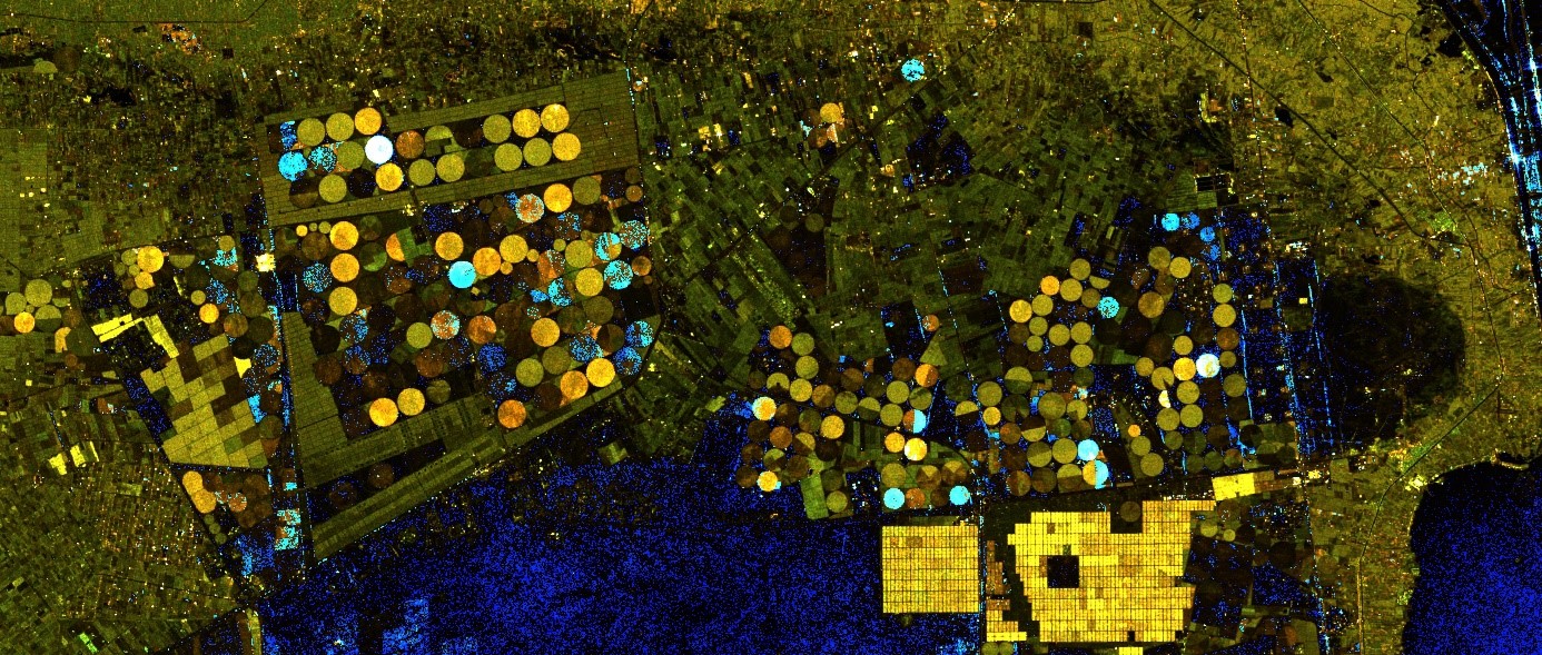
This online course offers an introduction to the fundamental principles and techniques of Polarimetric Interferometric Synthetic Aperture Radar (PolInSAR). Designed as a foundation for those interested in more advanced PolInSAR applications, the course begins with a refresher on SAR remote sensing principles and SAR image interpretation. Participants will build essential knowledge in radar polarimetry and interferometry, and learn how these two approaches combine to form the PolInSAR technique.
- Teacher: Ewelina Dobrowolska
- Teacher: Melisa Soledad Heredia
- Teacher: Suhyb Salama
