- Teacher: Ewelina Dobrowolska
- Teacher: Georgia Karadimou
- Teacher: Roelof Rietbroek
- Teacher: Tereza Roth
- Teacher: Suhyb Salama
- Teacher: Matthias Schramm
- Teacher: Rogier Van Der Velde
- Teacher: Paul Vermunt
- Teacher: Egor Prikaziuk
- Teacher: Roelof Rietbroek
- Teacher: Suhyb Salama
- Teacher: Zoltan Vekerdy
- Teacher: Paul Vermunt

Introduction
The 4th F2F course of the EO AFRICA R&D Facility will take place in Kigali, Rwanda in close collaboration with the African Association of Remote Sensing of the Environment (AARSE) 2022.
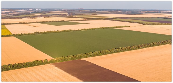
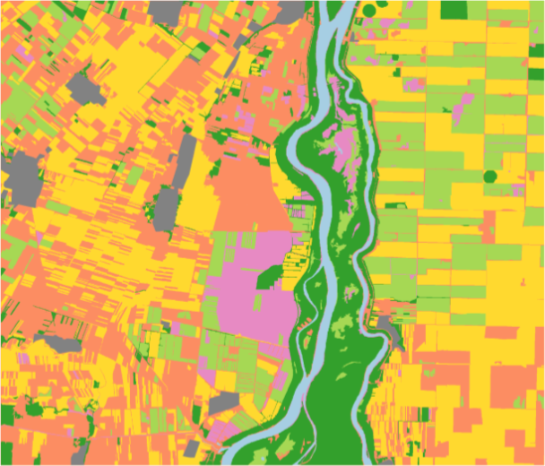
The course will provide participants with the necessary theoretical and practical knowledge for getting started on monitoring agroecosystems (croplands + rangelands) with satellite EO data. It will introduce the general concept of EO-based vegetation/drought monitoring, the distinct types of potentially useful EO data, relevant sensors, and derived data products, as well as different analysis techniques that can be employed to derive information from the satellite observations. The key dataset used for benchmark mapping and for change and performance monitoring as can be influenced by droughts, will be the 20-year low-resolution NDVI-images from Copernicus (CGLS). Methods will apply to agricultural areas, rangelands, and natural areas alike. An actual application for drought-insurance that focuses on detecting the occurrence of extreme low NDVI-values will be presented. Various techniques will be practiced by using Jupyter notebooks. In addition, participants will have the opportunity to apply knowledge gained on monitoring agroecosystems by completing a hands-on (2-day) practical exercises focused on estimating carrying capacity in rangelands.
It’s a 5-day course (6h per day), covering:
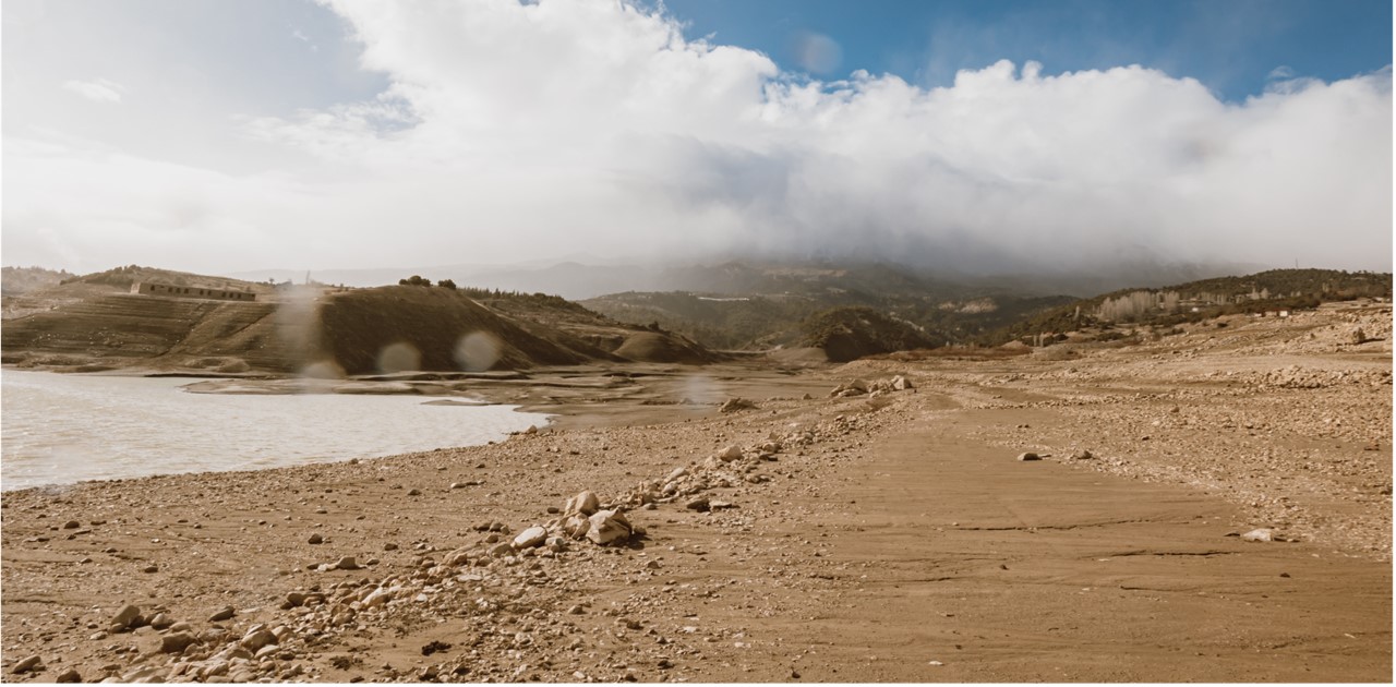
- Types of droughts – Droughts from a historical perspective.
- Time and Space – Setting the Scene.
- HyperTemporal-Mapping of Ecological Systems.
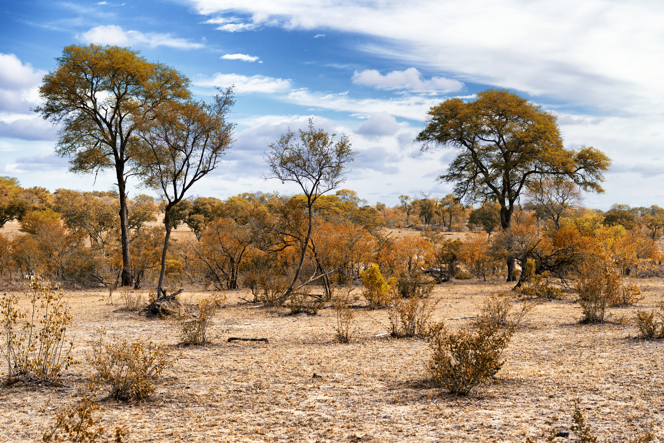
- Experiences gained when mapping the Masai Mara rangelands.
- Intros on “drought detection to support crop insurance models”.
- Logic behind the NDVI-based Micro-Insurance Scheme to address the peril “Drought”.
- Jupyter Notebook exercises.
- Integration of Copernicus dry matter productivity and land cover products to arrive at available forage, livestock requirements, and carrying capacity.
Learning Objectives
Upon completion of this course, the participant will:
- Recognise the different types of drought, contrast the differences between types of drought, and describe how EO information can be used to characterize droughts.
- List sources plus specifics of Hyper-Temporal (HT) NDVI-imagery, describe required pre-processing steps, explain and defend: (i) why HT NDVI-data are functional to map at country level “What is Where and to define When it is There”, and (ii) how we capture “Climatology aspects” (long-term averages) of “Crop Production Systems Zones” (CPSZs).
- Implode an NDVI data-cube to the required “information”, that is, create a map that specifies: (i) what is where (for monitoring changes; inter-annually), (ii) when is it there (intra-annually), (iii) what is its extent and density, and (iv) what is its temporal annual behaviour.
- Explain the concept of “carrying capacity” in the context of rangeland management
- Calculate CC using the Noy-Meir model
- Compare CC estimation methods (grazing-system models, field, Earth observation)
- Evaluate available forage and livestock requirements (carrying capacity) on a pixel basis using Copernicus products and other geospatial datasets.
Prerequisites
Teachers

- Teacher: Kees de Bie
- Teacher: Michael Marshall
- Teacher: Roelof Rietbroek
- Teacher: Suhyb Salama
- Teacher: Arno van Lieshout
- Teacher: Paul Vermunt
- Teacher: Roelof Rietbroek
- Teacher: Suhyb Salama
- Teacher: Arno van Lieshout
- Teacher: Paul Vermunt
- Teacher: Egor Prikaziuk
- Teacher: Roelof Rietbroek
- Teacher: Suhyb Salama
- Teacher: Paul Vermunt
- Teacher: Egor Prikaziuk
- Teacher: Suhyb Salama
- Teacher: Mahdi Farnaghi
- Teacher: Mahdi Khodadadzadeh
- Teacher: Roelof Rietbroek
- Teacher: Suhyb Salama
- Teacher: Paul Vermunt
- Teacher: Ewelina Dobrowolska
- Teacher: Cristina Elena Mihalache
- Teacher: Suhyb Salama
- Teacher: Jeroen Degerickx
- Teacher: Wai-Tim Ng
- Teacher: Egor Prikaziuk
- Teacher: Suhyb Salama
- Teacher: Valentijn Venus
- Teacher: Darius Couchard
- Teacher: Jeroen Degerickx
- Teacher: Michael Marshall
- Teacher: Egor Prikaziuk
- Teacher: Suhyb Salama
- Teacher: Valentijn Venus